
Understanding the Stave Heights context
Stave Heights is identified in Mission planning as a hillside area north of the urban core. The page uses that verified orientation without claiming that every property is steep, treed, or served. Describe the actual private lot rather than relying on the area name.
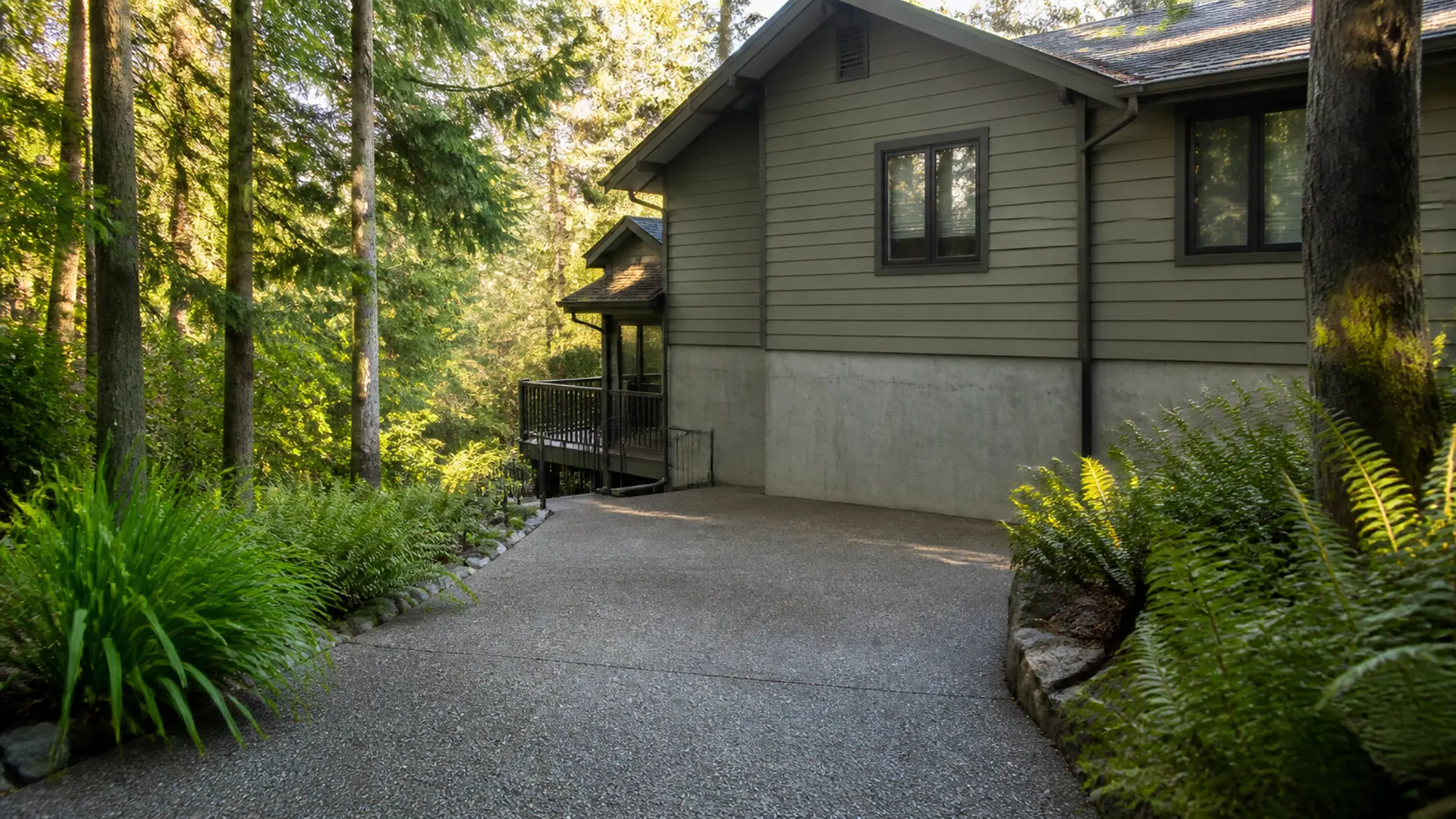
Include property type, storeys, roof shape, exterior materials, decks, retaining features, driveways, and the surfaces that need review. A community page is only the entry point; the requested scope must still be specific enough for safe method and access decisions.
Height, slope, and equipment access
If the site has grade changes, note steep approaches, stairs, terraces, narrow side yards, soft ground, drop-offs, lower roofs, and areas above landscaping. Explain where parking is available and whether equipment would need to cross shared or fragile surfaces.
Do not climb or enter unsafe areas to collect measurements. A provider should determine ladder or other access requirements, setback from overhead hazards, weather limitations, and whether any surface cannot be reached safely. Availability must remain conditional on that review.
Roof, gutter, and siding questions
Roof cleaning may be relevant to staining, gutter cleaning to debris or overflow signs, and house washing to siding buildup. Keep the scopes separate and identify roof material, gutter guards, siding type, repairs, visible damage, and height before asking whether services can be combined.
Vegetation, shade, and moisture can be useful observations only when they exist at the property. Record where buildup appears, but do not diagnose it or promise removal. Surface condition and manufacturer guidance determine what a future provider may propose.
Runoff and estimate preparation
Describe water access, downhill doors or paths, gardens, ponds, retaining walls, neighbouring lots, drainage outlets, and any existing erosion or puddling. The provider should review how water and loosened debris will be controlled; the slope does not make a public drain or lower property an acceptable outlet.
Submit approximate areas, access notes, material details, occupancy, pets, and scheduling constraints through the approved form. The map provides Stave Heights orientation only, contains no office marker, and cannot guarantee travel, timing, price, provider capability, or acceptance of a specific address.
Identify site changes that can stop the plan
Hillside access can change after heavy rain, landscaping work, construction, parked vehicles, or seasonal ground conditions. Mention any soft soil, temporary excavation, unstable-looking retaining edge, or blocked route without entering an unsafe area. The provider should reassess access if conditions differ on the proposed work date.
A written estimate should state the assumed setup position, surfaces, height, protection, and weather limits. It should also explain how newly found damage or unsafe access will be handled. That conditional plan is more useful than a fixed promise based only on the Stave Heights community name.
Because Stave Heights is identified as a hillside planning area, elevation is relevant context but not a substitute for site facts. Include driveway grade, retaining transitions, and whether the building rises additional storeys on the downhill elevation so access can be reviewed from every side.